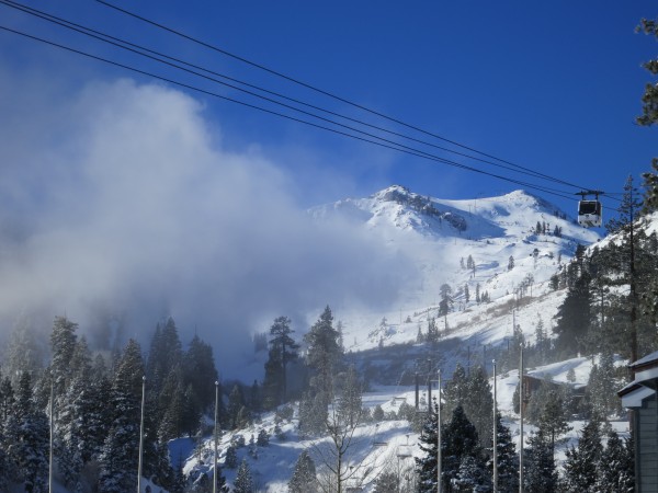
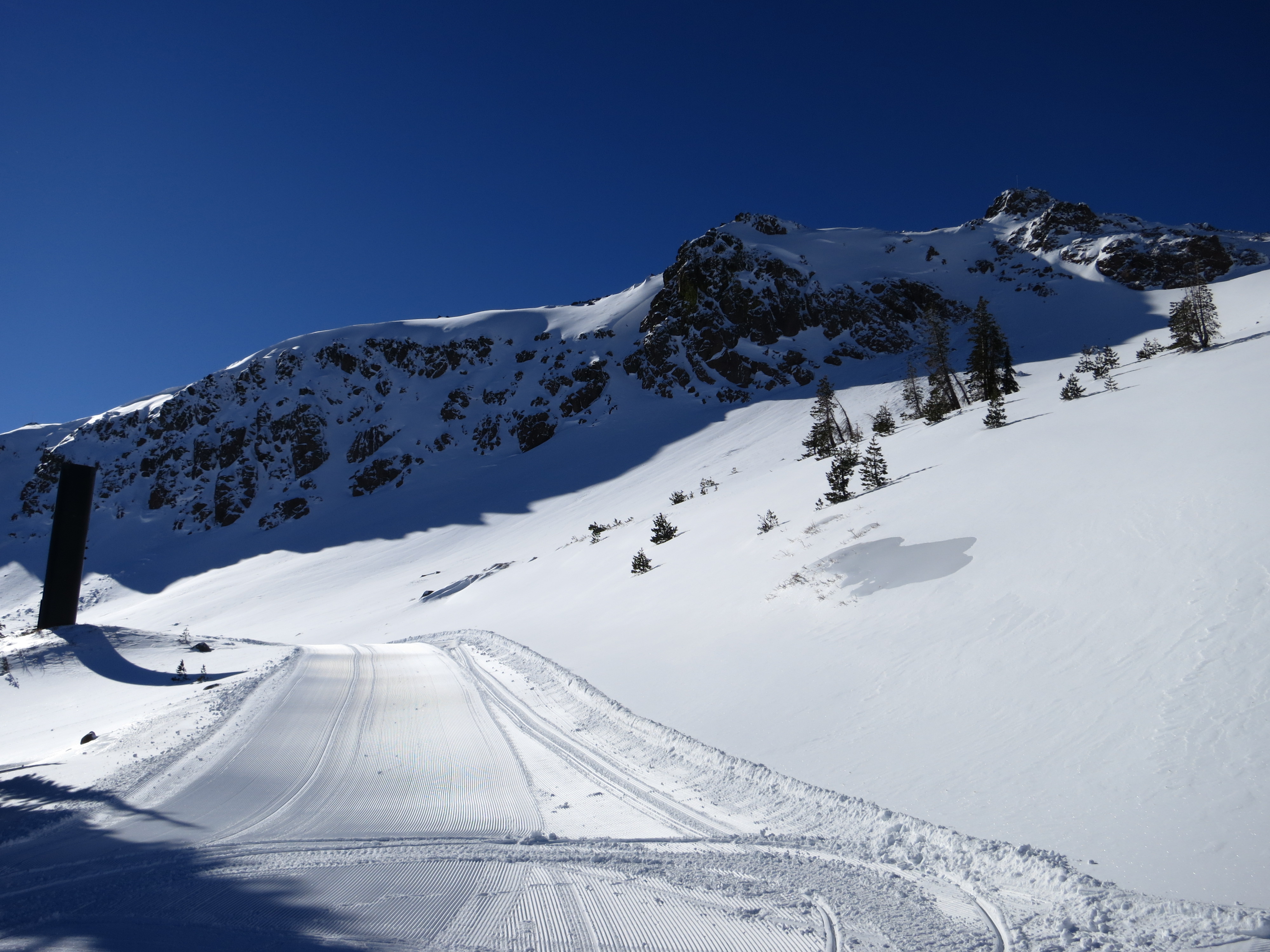
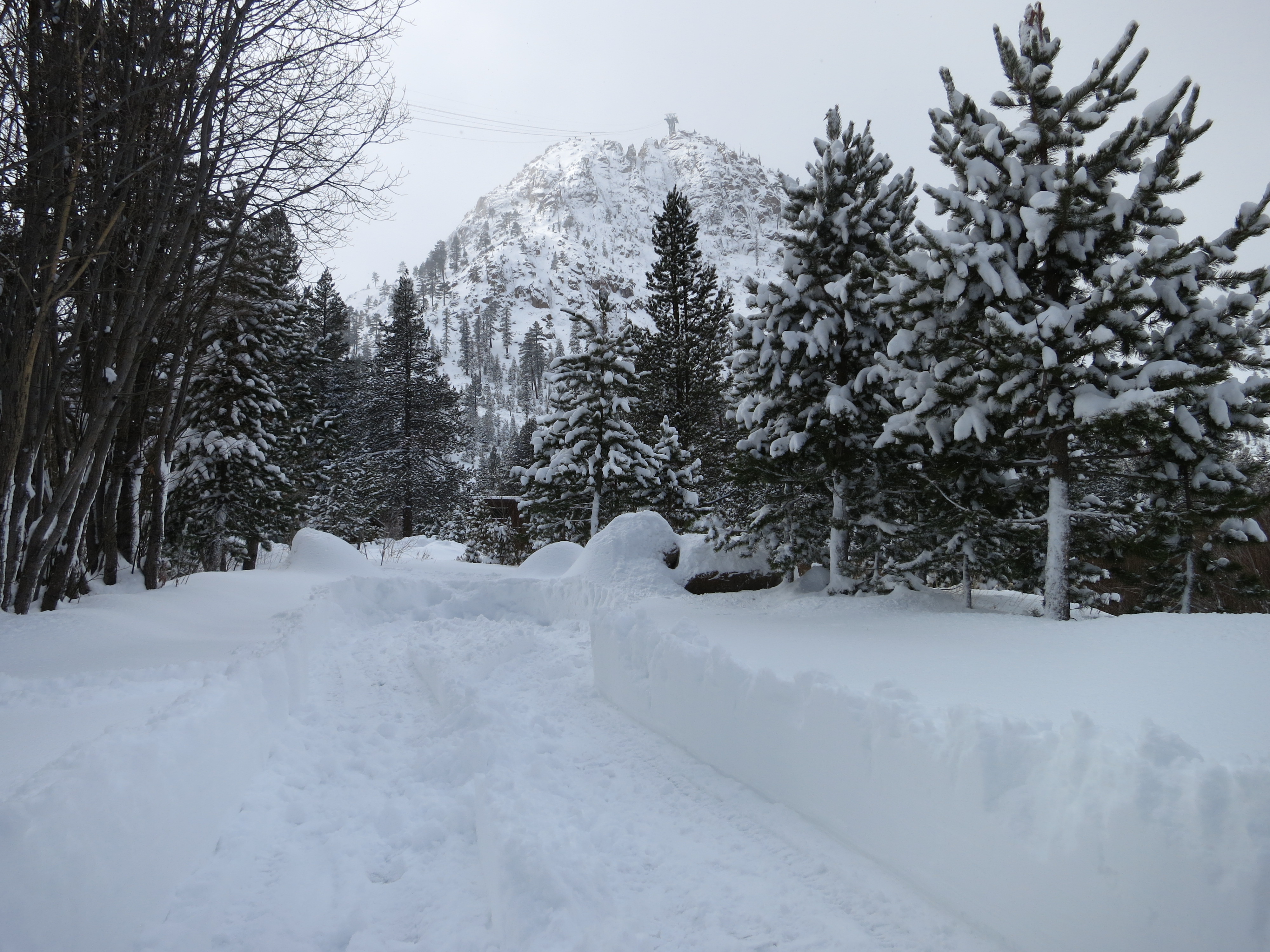
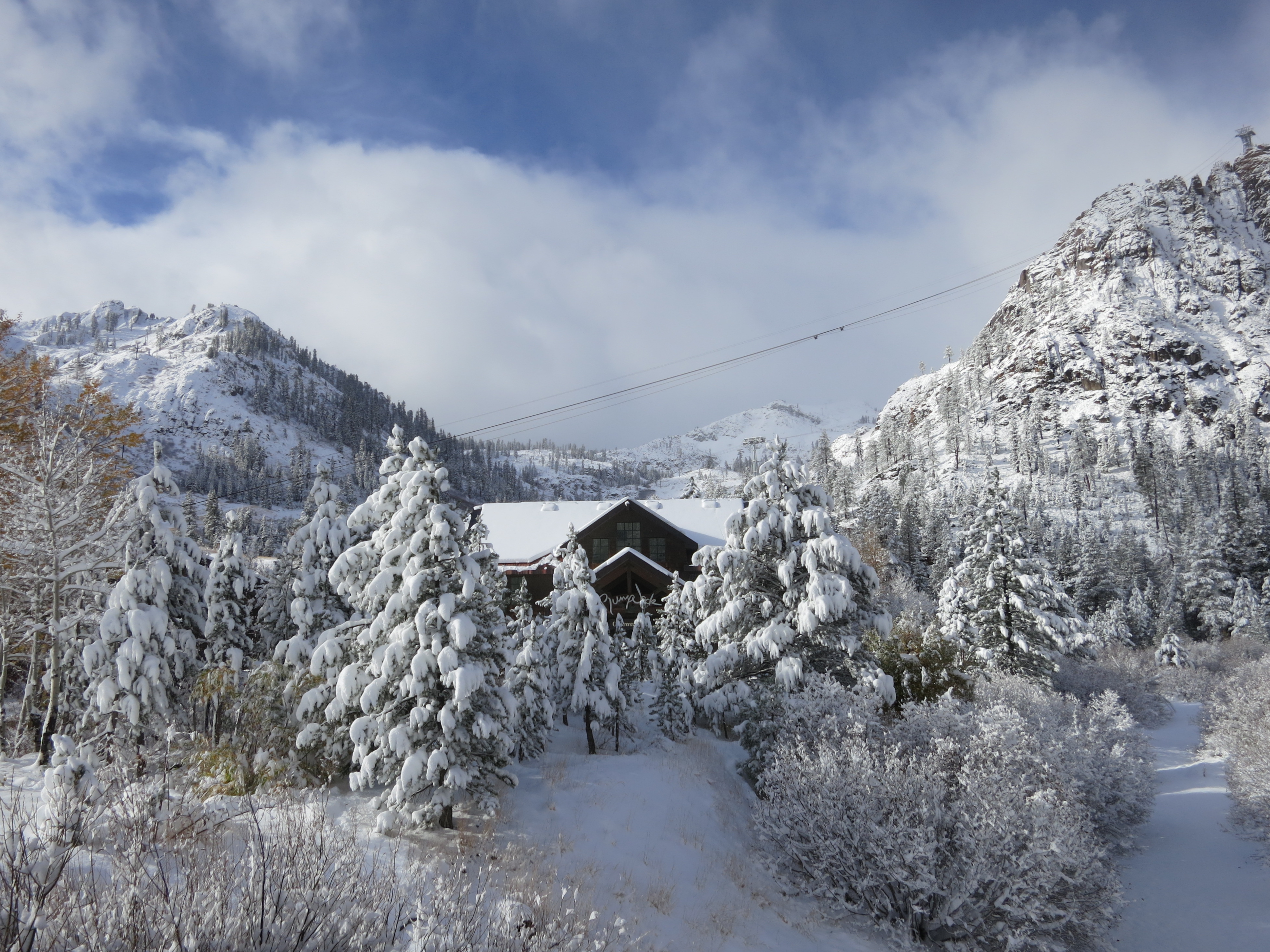
Snowmaking mixes with low clouds over Squaw Valley last weekend.
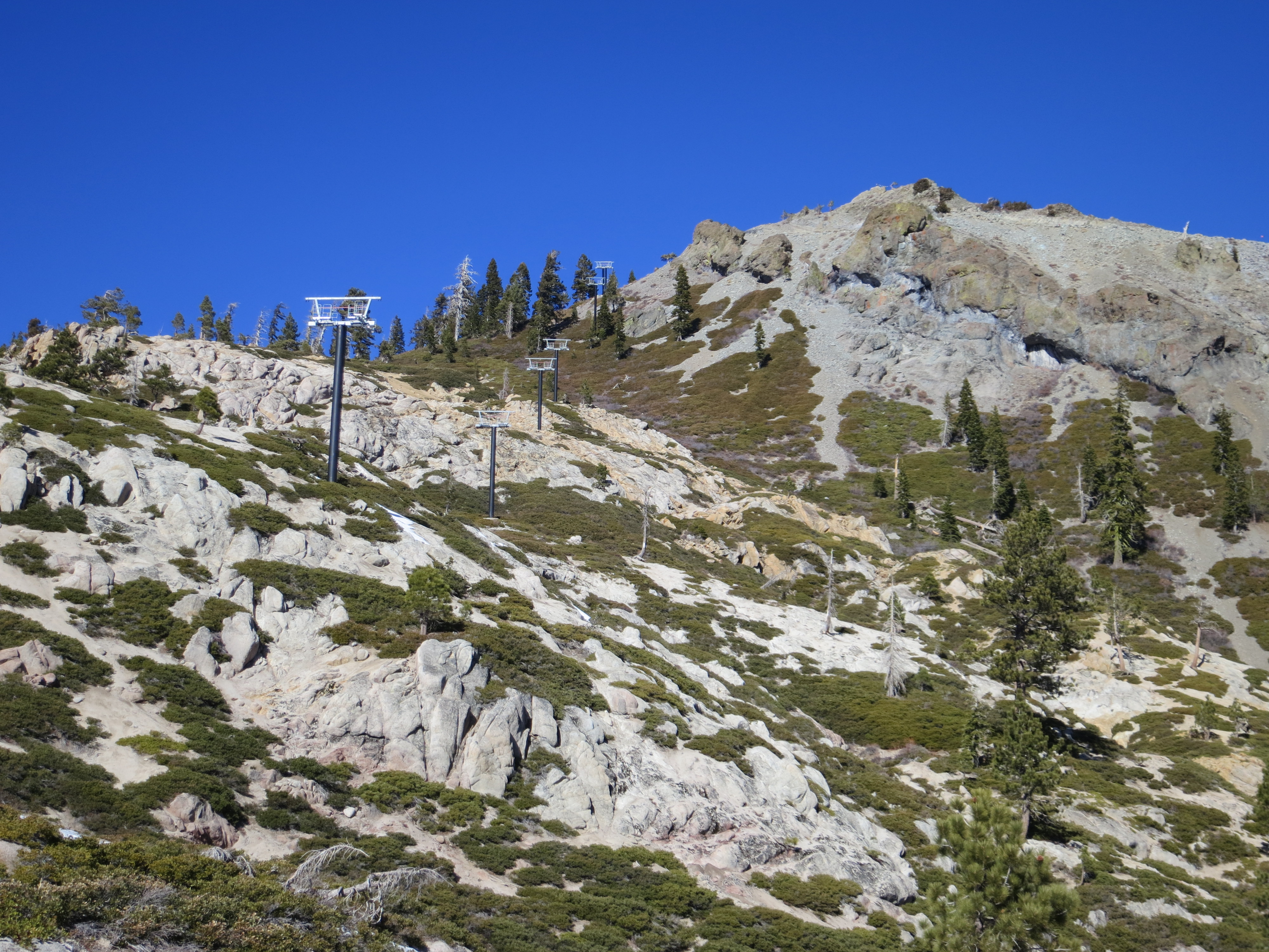
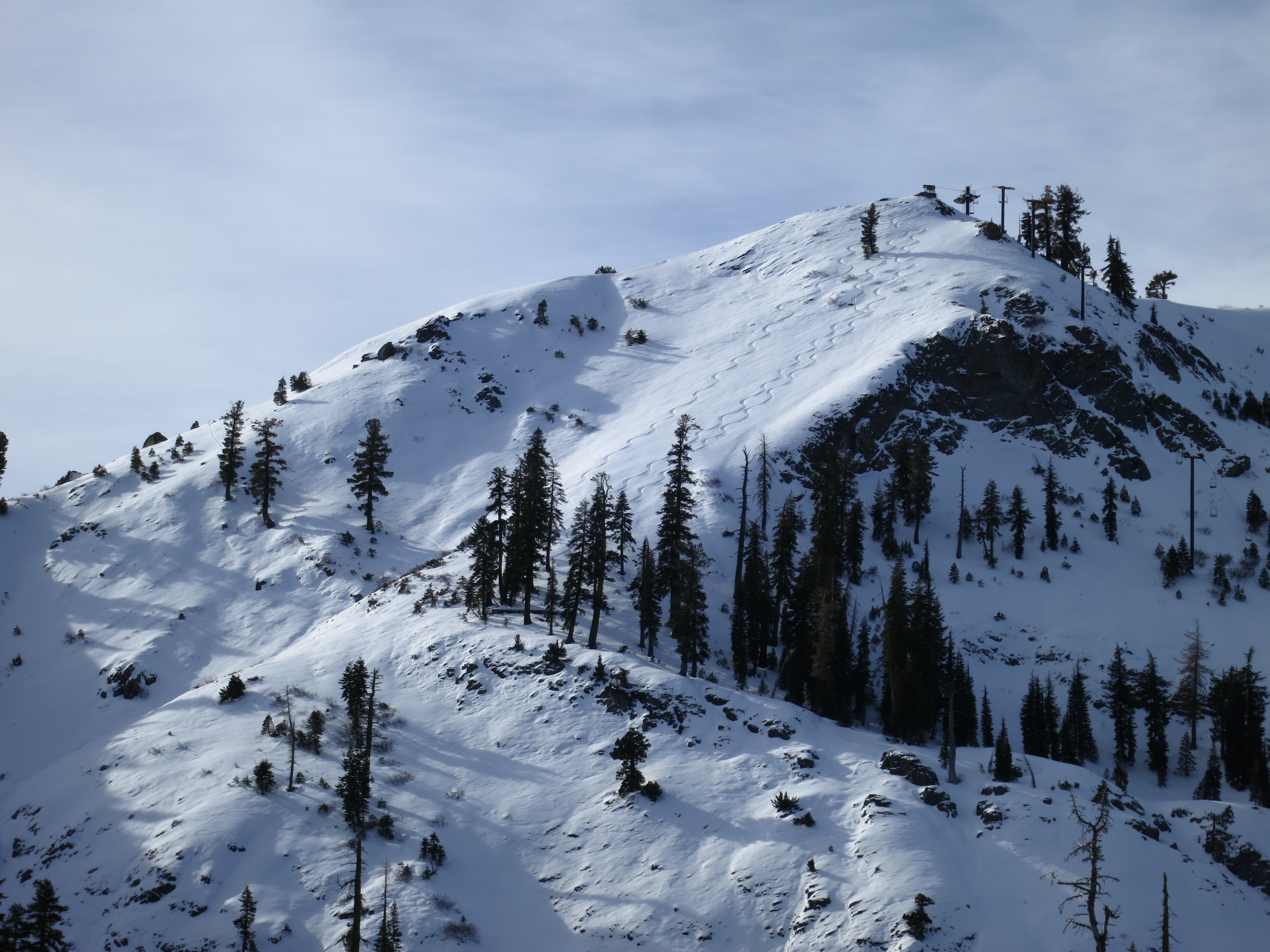
Tahoe ski areas received about two feet of ultra dry snow last weekend which was somewhat of a mixed blessing since it fell on top of bare ground with no substantial base. The fresh snow looks great but skiing it may expose your skis and body to rocks, stumps, branches, and other hazards that can end your season before it’s even begun. Groomed runs are fine of course and ski areas are making the best of the cold streak with extensive snowmaking operations. High pressure will hang over Northern California for at least another week.

Lookin’ pretty. Skiin’ dicey.
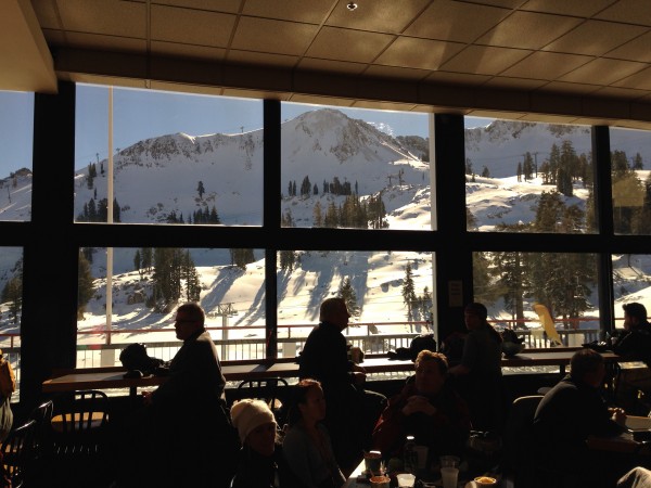
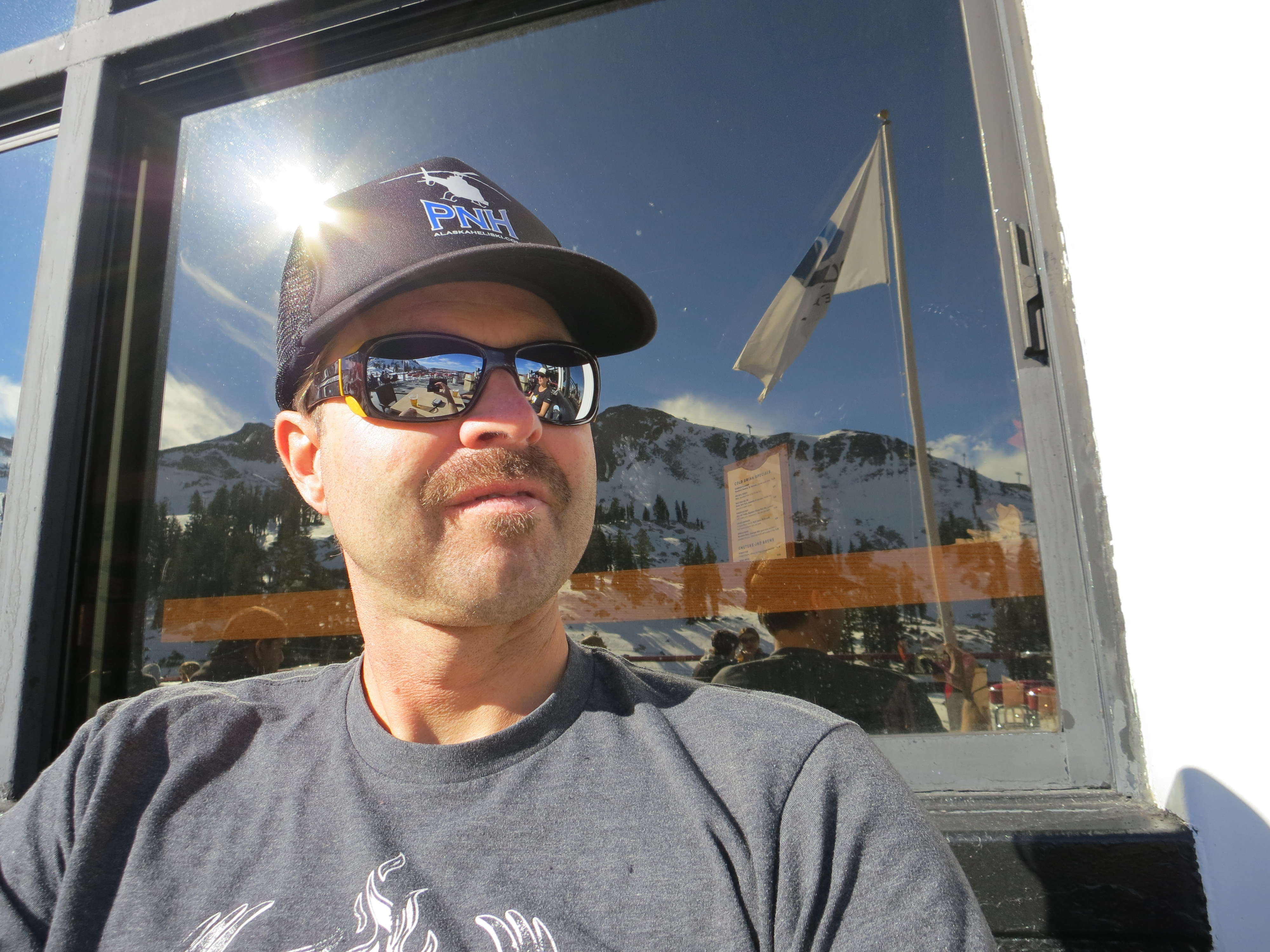
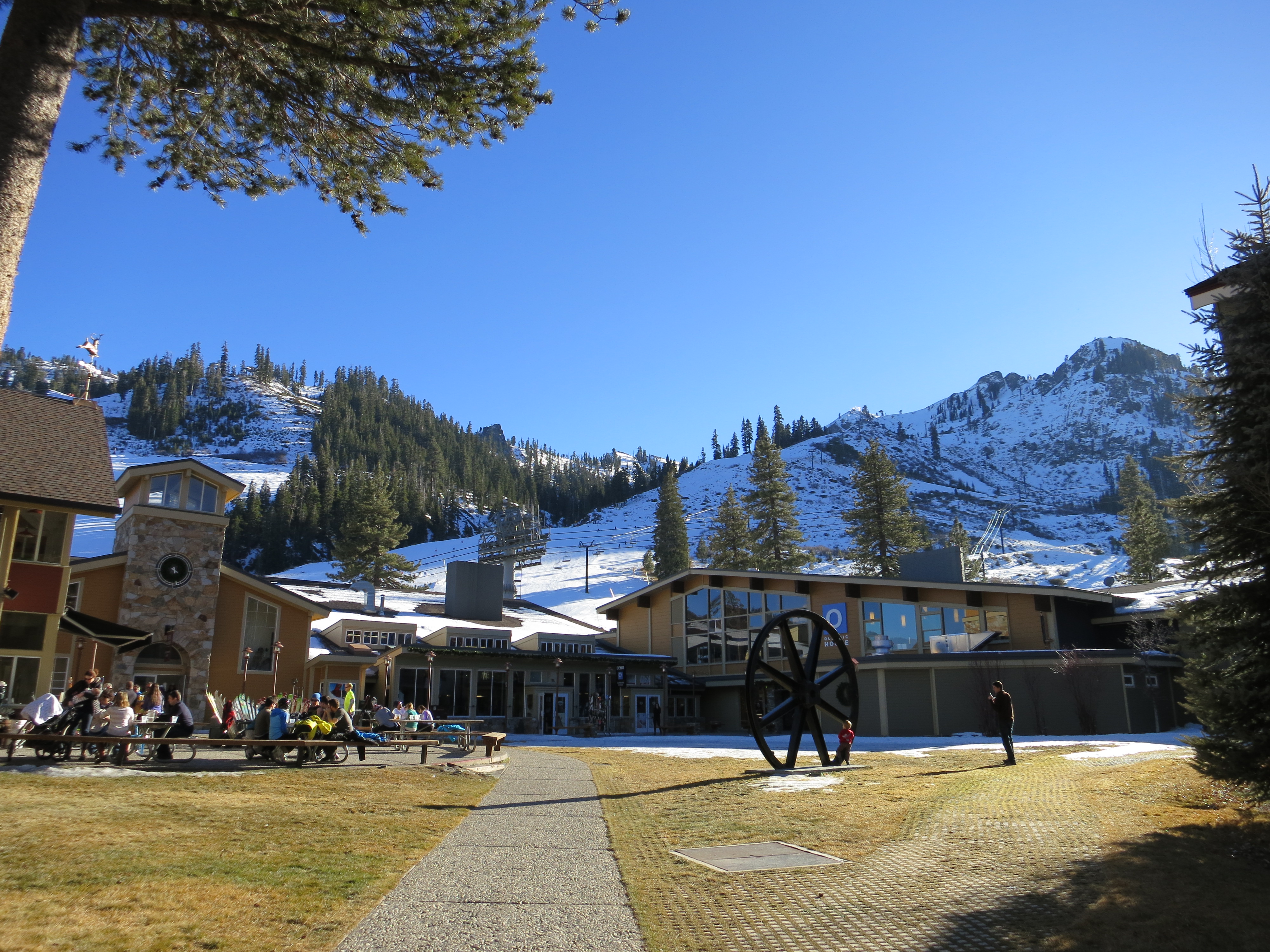
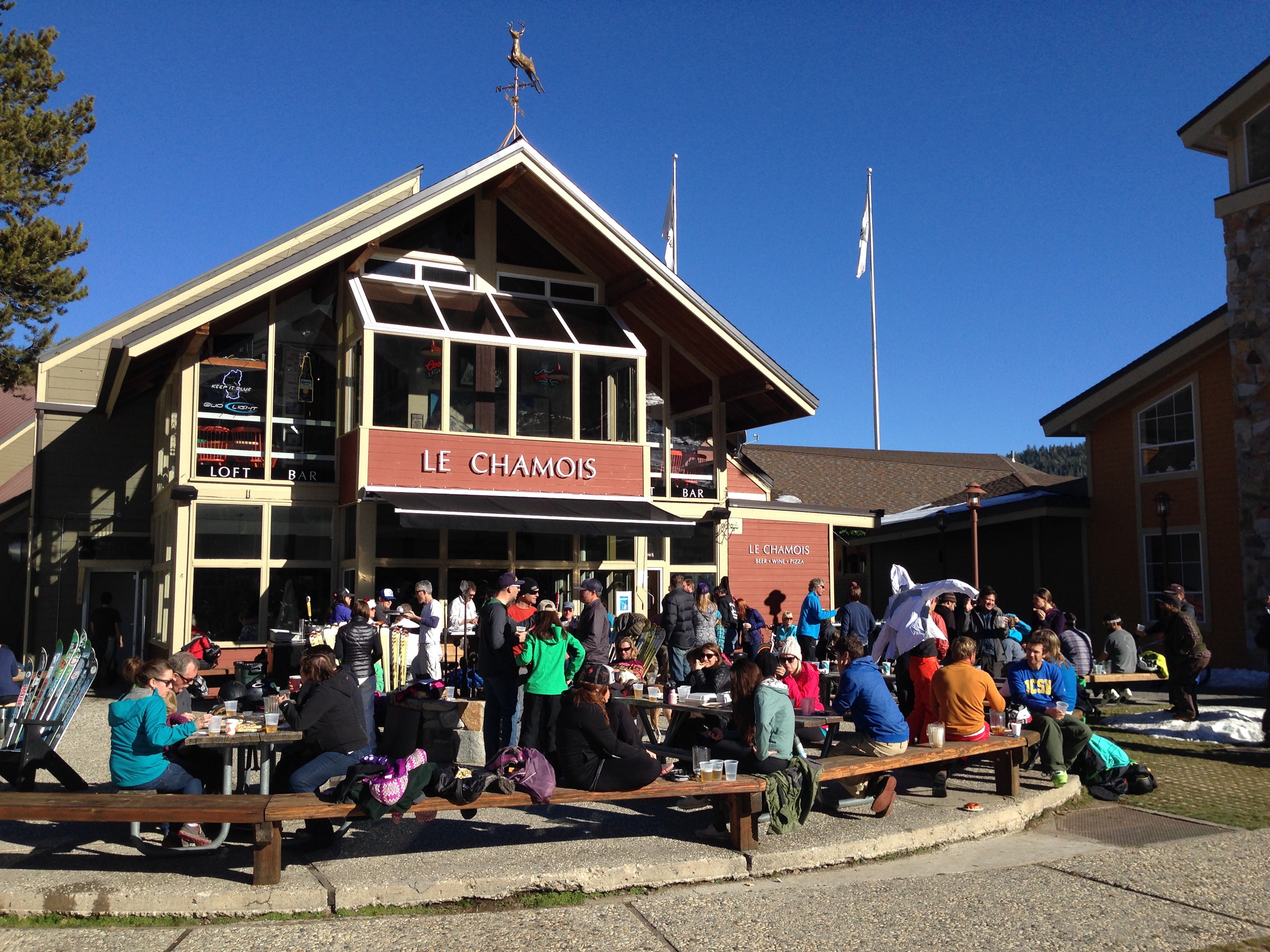
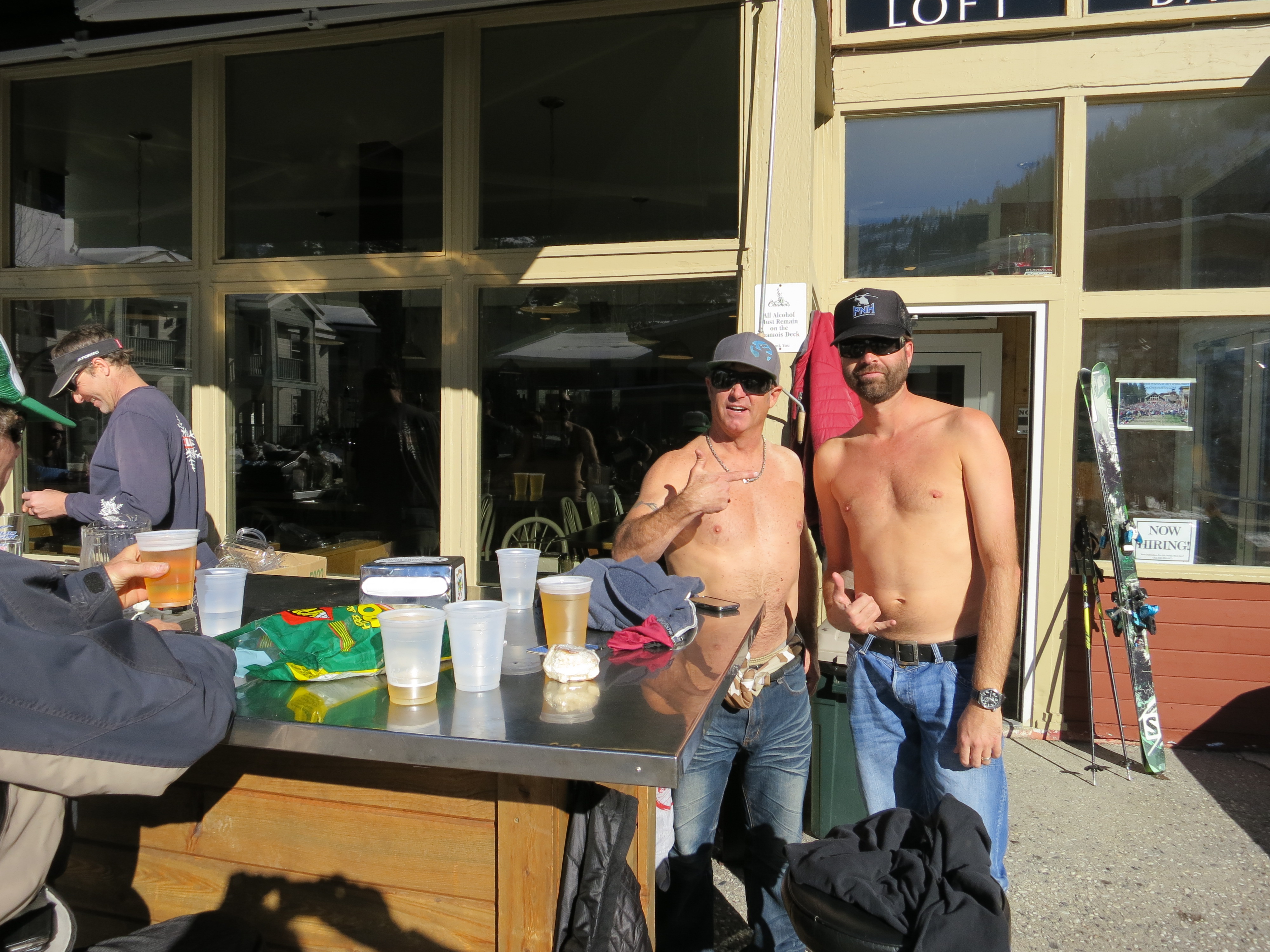
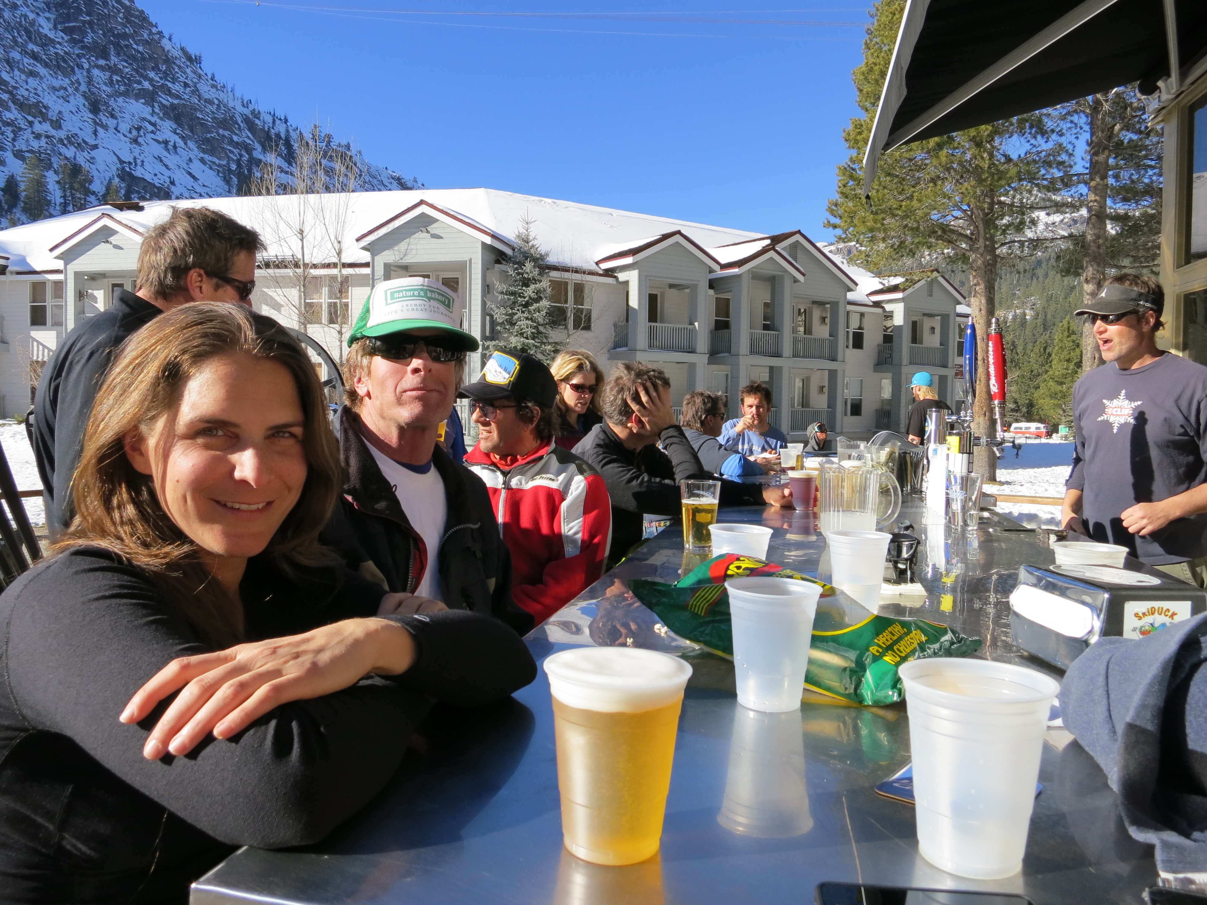
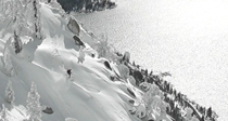
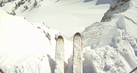
With limited terrain open you may as well swing into Gold Coast for a cold drink and great views.


Recent Comments